Log in
All resources
Create a design
186 Free Images of 1882 Maps
maps from the earth and its inhabitants, vol. iv
historical
history
prints by simon frisius in the rijksmuseum amsterdam
simon frisius
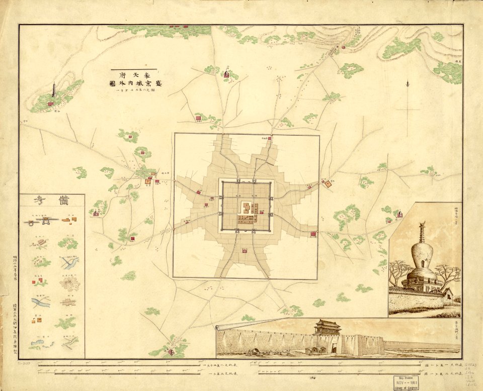
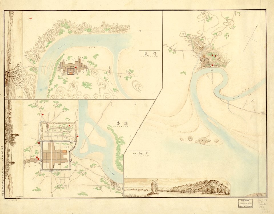
maps in the library of congress
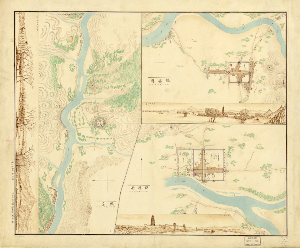
old maps of manchuria
1880s maps of china
japanese-language maps
old maps of liaoning
historical images of rapperswil-jona
topographischer atlas der schweiz
maps from the earth and its inhabitants, vol. iv
bathymetric maps of the united kingdom
norwegian north-atlantic expedition (1876-1878)
old maps of jan mayen
historical
history
maps from the earth and its inhabitants, vol. x
1890 maps of africa
maps from the earth and its inhabitants, vol. iv
faversham creek
maps from the earth and its inhabitants, vol. iv
ragstone
historical
history
maps from the earth and its inhabitants, vol. iv
old maps of cardiff
maps from the earth and its inhabitants, vol. iv
maps of balmoral castle
historical
history
maps from the earth and its inhabitants, vol. iv
1880s maps of ireland
naturalism,symbolism
maps of stockholm
maps from the earth and its inhabitants, vol. iv
1882 maps
cartography
maps
maps from the earth and its inhabitants, vol. iv
severn estuary
maps from the earth and its inhabitants, vol. iv
mount merrick
turgot map of paris – derivative files
maison du temple (paris)
the trouvelot astronomical drawings
old maps of mars
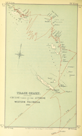
wanderings, south and east (1882)
old maps of polynesia
maps from the earth and its inhabitants, vol. iv
old maps of cambridge
maps from the earth and its inhabitants, vol. iv
1880s maps of london
maps from the earth and its inhabitants, vol. iv
old maps of lincoln
maps from the earth and its inhabitants, vol. xviii
1890s maps of colombia
maps from the earth and its inhabitants, vol. iv
old maps of norwich
maps from the earth and its inhabitants, vol. iv
old maps of sheffield
romanticism
john martin
sanborn fire insurance map from ashtabula, ashtabula county, ohio
1909 maps of ohio
windmills in stockholm
naturalism,symbolism
naturalism,symbolism
drawings of ships
maps from the earth and its inhabitants, vol. iv
historical images of watch towers
naturalism,symbolism
cartography
maps
wanderings, south and east (1882)
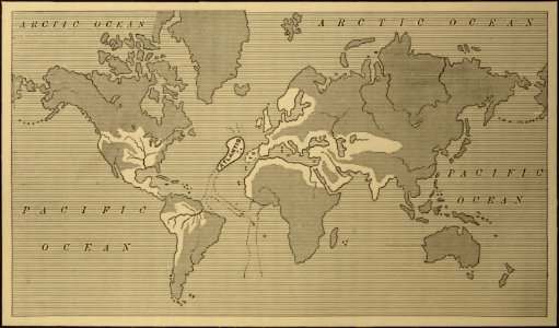
1882 maps of the world
historical
history
historical
history
description
historical
historical
history
historical
history
historical
history
paris à travers les âges
lithographs of paris
maps from the earth and its inhabitants, vol. iv
maps from the earth and its inhabitants, vol. iv
maps from the earth and its inhabitants, vol. iv
maps from the earth and its inhabitants, vol. iv
maps from the earth and its inhabitants, vol. iv
maps from the earth and its inhabitants, vol. iv
maps from the earth and its inhabitants, vol. iv
maps from the earth and its inhabitants, vol. iv
maps from the earth and its inhabitants, vol. iv
maps from the earth and its inhabitants, vol. iv
maps from gallica
guides joanne
romanticism
john martin
romanticism
john martin
the trouvelot astronomical drawings
old maps of mars
maps by gouverneur k. warren
maps by edwin freyhold
nineveh and babylon - a narrative of a second expedition to assyria during the years 1849, 1850, and 1851 (1882)
maps of babylon
nineveh and babylon - a narrative of a second expedition to assyria during the years 1849, 1850, and 1851 (1882)
maps of babylon
nineveh and babylon - a narrative of a second expedition to assyria during the years 1849, 1850, and 1851 (1882)
maps of nimrud
20th-century maps of libya
giuseppe haimann
flora from the british library mechanical curator collection
wanderings, south and east (1882)
admiralty charts 1801-2000
preston, lancashire
wanderings, south and east (1882)
views of rio de janeiro
historical
history
joost van geel
de lier
dutch 19th-century portrait prints in the rijksmuseum amsterdam
willem cornelis van dijk (1826-1881)
prints of cartouches in the rijksmuseum amsterdam
etchings in the rijksmuseum amsterdam
semeuse stamps on covers and postcards (5c)
postcards of charleville-mézières
ships named sebenico
melton prior
17th-century maps of the mediterranean sea
portolan charts made in the 17th century
title pages in the rijksmuseum amsterdam
symbolism
maps in the rijksmuseum amsterdam
paulus van wtewael
maps of the captaincy general of cuba
maps of the history of florida
old maps of the viceroyalty of new spain
the spanish borderlands
lithographs in the rijksmuseum amsterdam
maps in the rijksmuseum amsterdam
prints by simon frisius in the rijksmuseum amsterdam
maps in the rijksmuseum amsterdam
prints by simon frisius in the rijksmuseum amsterdam
siege of ostend
old maps of haarlem
siege of haarlem
prints published by claes jansz. visscher (ii) in the rijksmuseum amsterdam
maps in the rijksmuseum amsterdam
prints by simon frisius in the rijksmuseum amsterdam
simon frisius
prints by simon frisius in the rijksmuseum amsterdam
simon frisius
prints by claes jansz. visscher (ii) in the rijksmuseum amsterdam
siege of sas van gent
dutch 17th-century prints in the rijksmuseum amsterdam
siege of schenkenschans 1599
dutch 17th-century prints in the rijksmuseum amsterdam
war of the jülich-kleve succession
old maps of haarlem
siege of haarlem
old maps of haarlem
siege of haarlem
101 - 186 of 186
/ 2